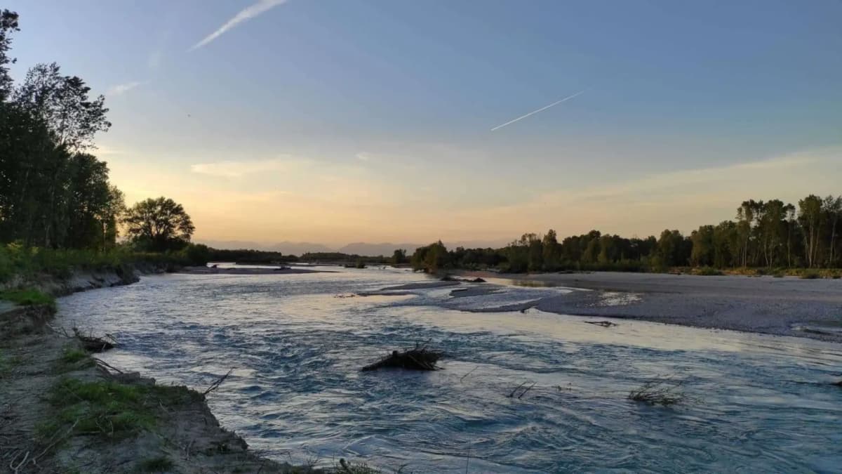
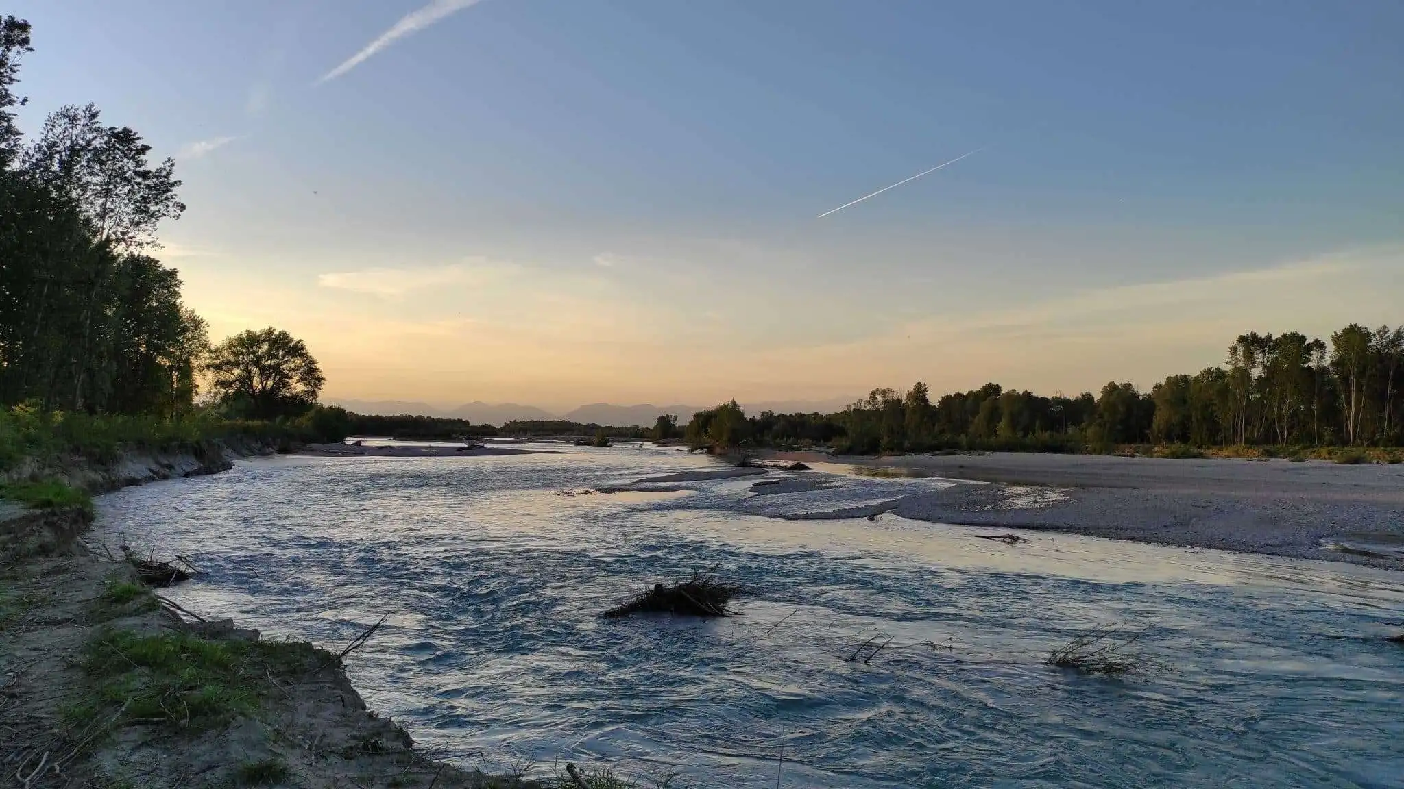
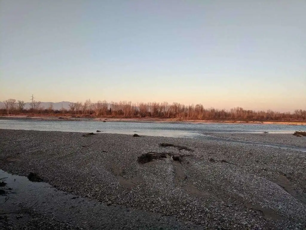
The morphology of the municipal area is characterized by predominantly clayey soils interspersed with sandy-silty and gravelly extensions closely related to the presence of the Piave River, whose course, coming from the Nervesa narrows, has led to the formation of gravel deposits visible in the floodplain context.
The surface of the Municipality of Breda di Piave is distinguished by areas characterized by fluvial and calcareous deposits transported by the river course, a sandy-silty area of the alluvial plain, and a silty-clayey area between Breda di Piave and Saletto, at Pero and Vacil.
Morphology of the territory of Breda di Piave: hydrography
Rivers, streams, and springs in the Municipality of Breda di Piave
The territory of Breda di Piave extends over a vast alluvial plain characterized by the presence of the hydrographic basins of the Piave and Sile rivers and the drainage basin of the Lagoon of Venice.
The main watercourses that run through the territory of the Municipality of Breda di Piave include:
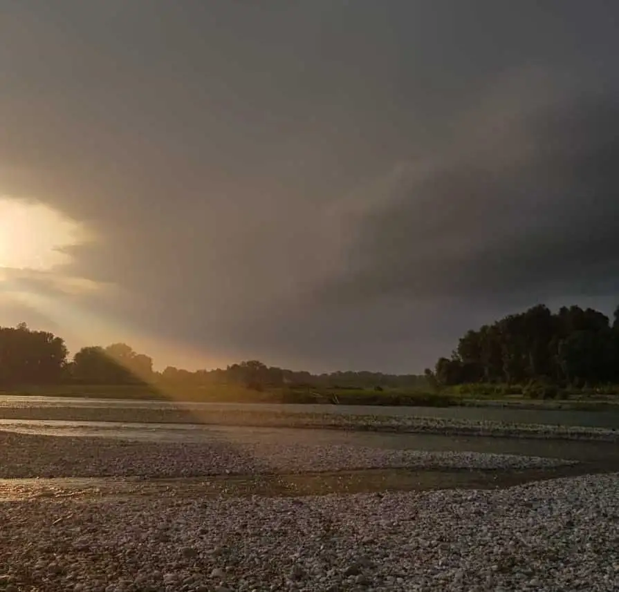
- the Piave, whose course marks the border between Breda di Piave and Ponte di Piave.
- the Piavesella, whose source lies between Maserada sul Piave and Candelù. Near Fagarè the river forms two branches, one of which flows into the Piave, the other continues its course taking the name of Canale Zero.
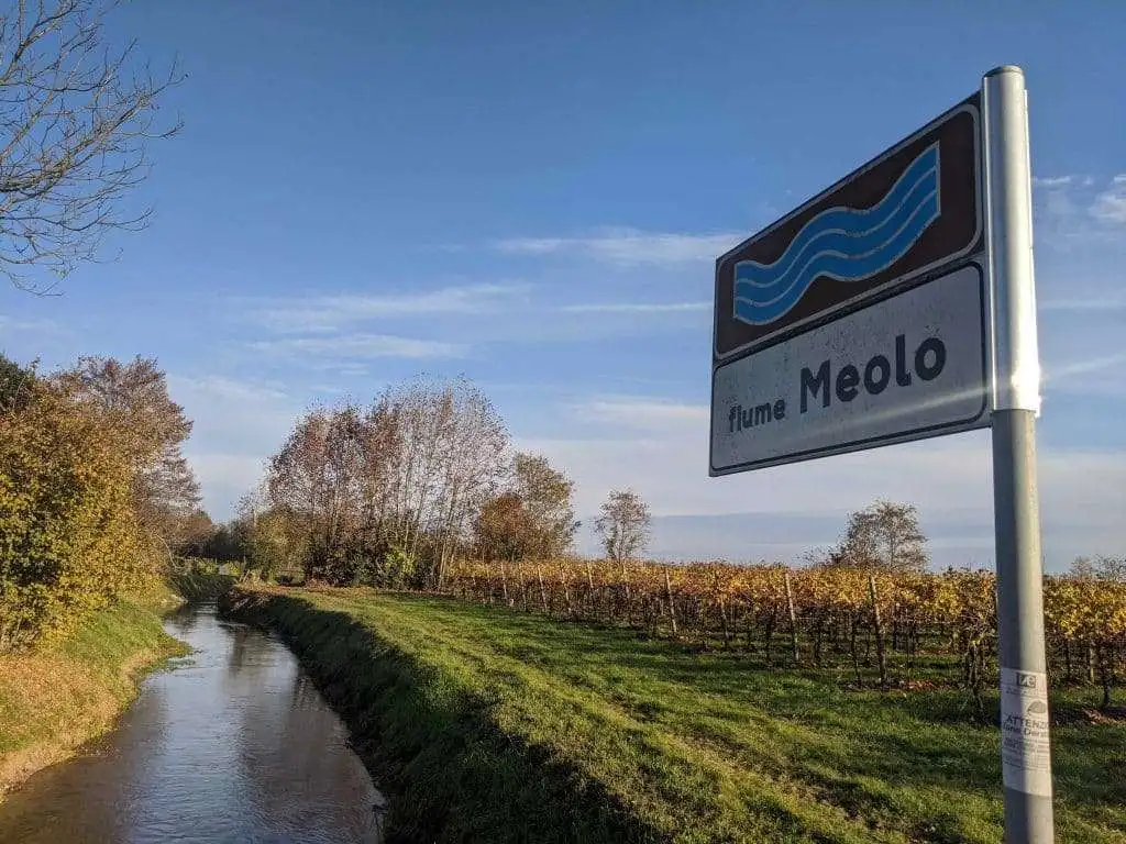
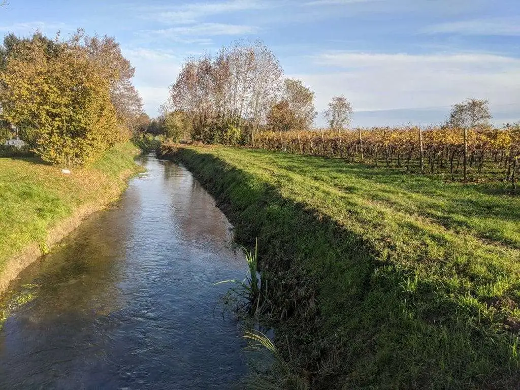
- the Meolo: a spring-fed river whose source is located in the Campagne area, east of the center of Breda. The river flows northwest-southeast and crosses the territory of San Biagio di Callalta. At the small hamlet of Meolo, the namesake river branches off, flowing into the Vallio to the south, while the historical course of the Meolo flows into the Colatore Principale drainage canal and partly into the Fossetta canal.
- the Mignagola, the Musestre, the Vallio, the Pero, the Meoletto, and the Fossalon, in addition to the Bagnon and the Fosso della Vacca.
Morphology of the territory of Breda di Piave: The springs
The territory of the municipality of Breda di Piave extends in the right area of the gigantic Piave alluvial fan of Nervesa in the zone between the upper and lower plain where the coarser gravelly detrital areas and the finer silty-clayey ones meet.
Alluvial waters filter through the pebbly and gravelly soil in the highly permeable upper plain, forming the water table.
Due to gravity, the underground watercourse reaches the lower plain, where it surfaces due to the less permeable soil.
Also known as an alluvial megafan, the alluvial fan is a vast fan-shaped area composed of sedimentary rocks, formed by the erosive action of a watercourse at the mouth of a valley.
The Nervesa megafan dates back to the Tarantian, or Late Pleistocene, an epoch ranging from 126,000 to 11,700 years ago.
Where are the main springs of the Municipality of Breda di Piave located?
From the 9 active springs in the Municipality of Breda di Piave, numerous watercourses originate:
The Fossalon and the Musestrelle, respectively 2.6 and 3.4 km long, rise at Vacil and are both right tributaries of the Musestre.
The latter, with a length of 30 km, is a left tributary of the Sile river.
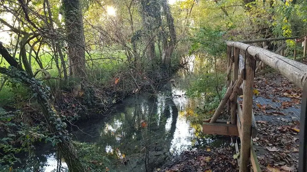
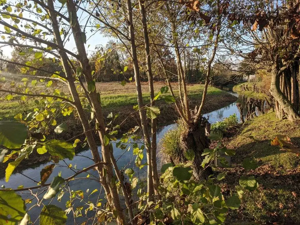
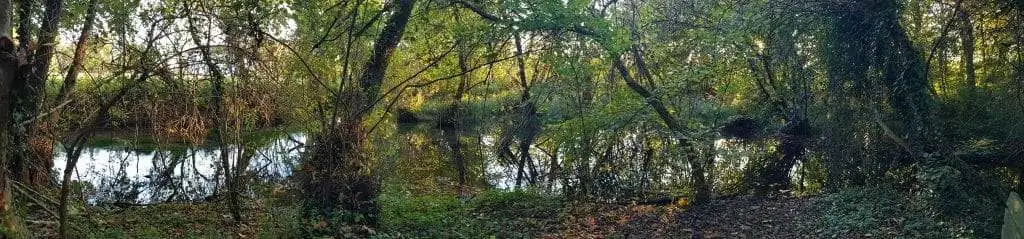
The most fascinating natural sites to find clear springs in Breda di Piave are the Alder Wood (Bosco degli Ontani) and the Galileo Galilei Wood (Bosco Galileo Galilei). The former is a small biotope a few steps from the town center where, in addition to the clear and cold springs, one can admire a splendid grove of black alder, majestic plane trees, and lush riparian species such as water germander and lagoon pondweed.
Built at the end of the 1990s, the Galileo Wood features a vast heritage of tree and shrub biodiversity including field maple, sycamore maple, and mountain maple, as well as several specimens of hawthorn, hornbeam, hazel, ash, English oak, Hungarian oak, and downy oak, to name a few. From convenient observation points along the route, one can contemplate enchanting springs that brush against the forest vegetation of the natural oasis.